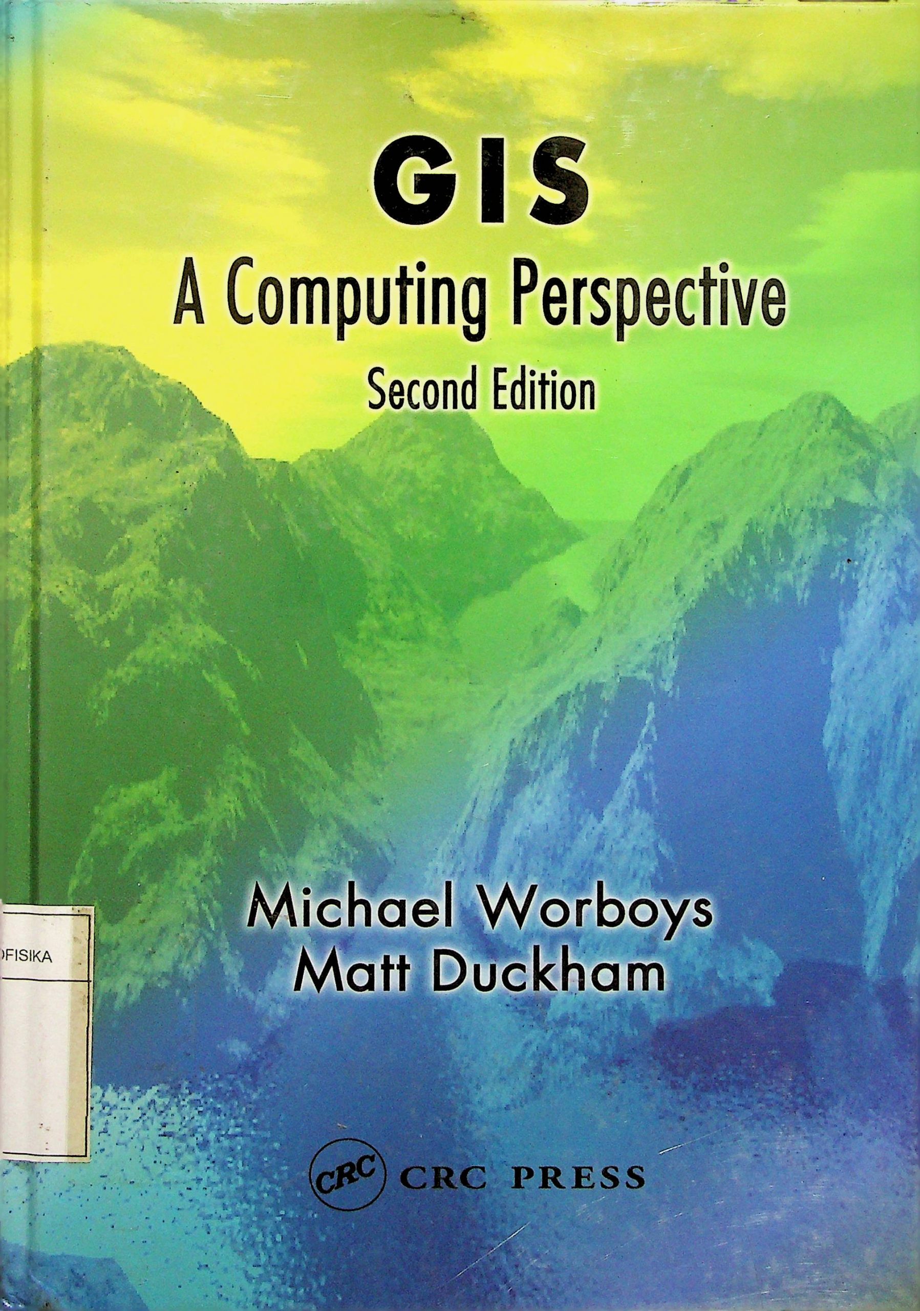
Geographic information systems (GISs) are computer-based information systems that are used to capture, model, store, retrieve, share, manipulate, analyze, and present geographically referenced data. This book is about the technology, theories, models, and representations that surround geographic information and GISs. This study (itself often referred to as G1S or geographic information science) has emerged in the last two decades as an exciting multi-disciplinary endeavor, spanning such areas as geography, cartography, remote sensing, image processing, environmental sciences, and computing science. The treatment in this text is unashamedly biased toward the computational aspects of GIS. Within computing science, GIS is a special interest of fields such as databases, graphics, systems engineering, and computational geometry, being not only a challenging application area, but also providing foundational questions for these disciplines.
5
A Computing Perspective
Michael Worboys and Matt Duckham
Penerbit :
CRC Press LLC
Tahun :
2004
Buku Text
-
No Scan352
-
No Klasifikasi910.285
-
ISBN0-415-28375-2
-
ISSN
-
No Registrasi005A/I/2007
-
Lokasi Terbit
-
Jumlah Hal33
-
Label910.285 Wor g
-
Versi DigitalTIDAK
-
Versi FisikTIDAK
-
Lokasi Rak Buku Fisik//
-
Jumlah Exemplar Fisik Tersedia-


