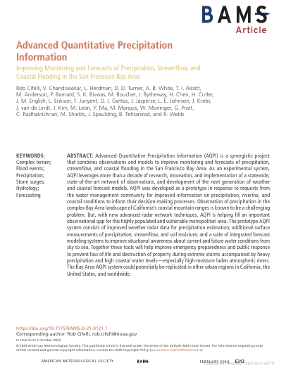
The Advanced Quantitative Precipitation Information (AQPI) project is an integrated system that combines advanced radar observations and modeling to improve the monitoring and forecasting of precipitation, streamflow, and coastal flooding in the San Francisco Bay Area. Developed in response to local water management needs, AQPI enhances data accuracy in California’s complex coastal terrain by filling observational gaps left by existing radar networks. Through improved weather radar data, surface measurements, and high-resolution forecast models, the system supports better emergency preparedness and decision-making during extreme storms and atmospheric river events. The AQPI prototype also serves as a model that can be replicated in other urban regions worldwide.
-
Advanced Quantitative Precipitation Information
Rob Cifelli
Penerbit :
American Meteorological Society
Tahun :
2024
Jurnal
Complex terrain flood events Precipitation Hydrometeorology
-
No Scan-
-
No Klasifikasi-
-
ISBN-
-
ISSN-
-
No Registrasi-
-
Lokasi Terbit-
-
Jumlah Hal-
-
Label-
-
Versi DigitalYA
-
Versi FisikTIDAK
-
Lokasi Rak Buku Fisik//
-
Jumlah Exemplar Fisik Tersedia-