Environmental remote sensing is the measurement, from a distance, of the spectral features of the Earth’s surface and atmosphere. These measurements are normally made by instruments carried by satellites or aircraft, and are used to infer the nature and characteristics of the land or sea surface, or of the atmosphere, at the time of observation. The successful application of remote sensing techniques to particular problems, whether they be geographical, ge¬ological, oceanographic or cartographic, requires knowl¬edge and skills drawn from several areas of science. An understanding of the way in which remotely sensed data are acquired by a sensor mounted onboard an aircraft or satellite needs a basic knowledge of the physics involved, in particular environmental physics and optics. The use of remotely sensed data, which are inherently digital, de-mands a degree of mathematical and statistical skill plus some familiarity with digital computers and their opera¬tion. A high level of competence in the field in which the remotely sensed data are to be used is essential if full use of the information contained in those data is to be made. The term “remote sensing specialist” is thus, apparently, a contradiction in terms, for a remote-sensing scientist must possess a broad range of expertise across a variety of disci¬plines. While it is, of course, possible to specialise in some particular aspect of remote sensing, it is difficult to cut one¬self off from the essential multidisciplinary nature of the subject.This book is concerned with one specialised area of re¬mote sensing, that of digital image processing of remotely- sensed data but, as we have seen, this topic cannot be treated in isolation, and so Chapter 1 covers in an introductory fashion the physical principles of remote sensing. Satellite platforms currently or recently in use, as well as those pro¬posed for the near future, are described in Chapter 2, which also contains a description of the nature and sources of remotely-sensed data. The characteristics of digital com¬puters as they relate to the processing of remotely sensed image data is the subject of chapter 3. The remaining five chapters cover particular topics within the general field of the processing of remotely-sensed data in the form of digital images, and their application to a range of problems drawn from the Earth and environmental sciences. Chapters 1 to 3
5
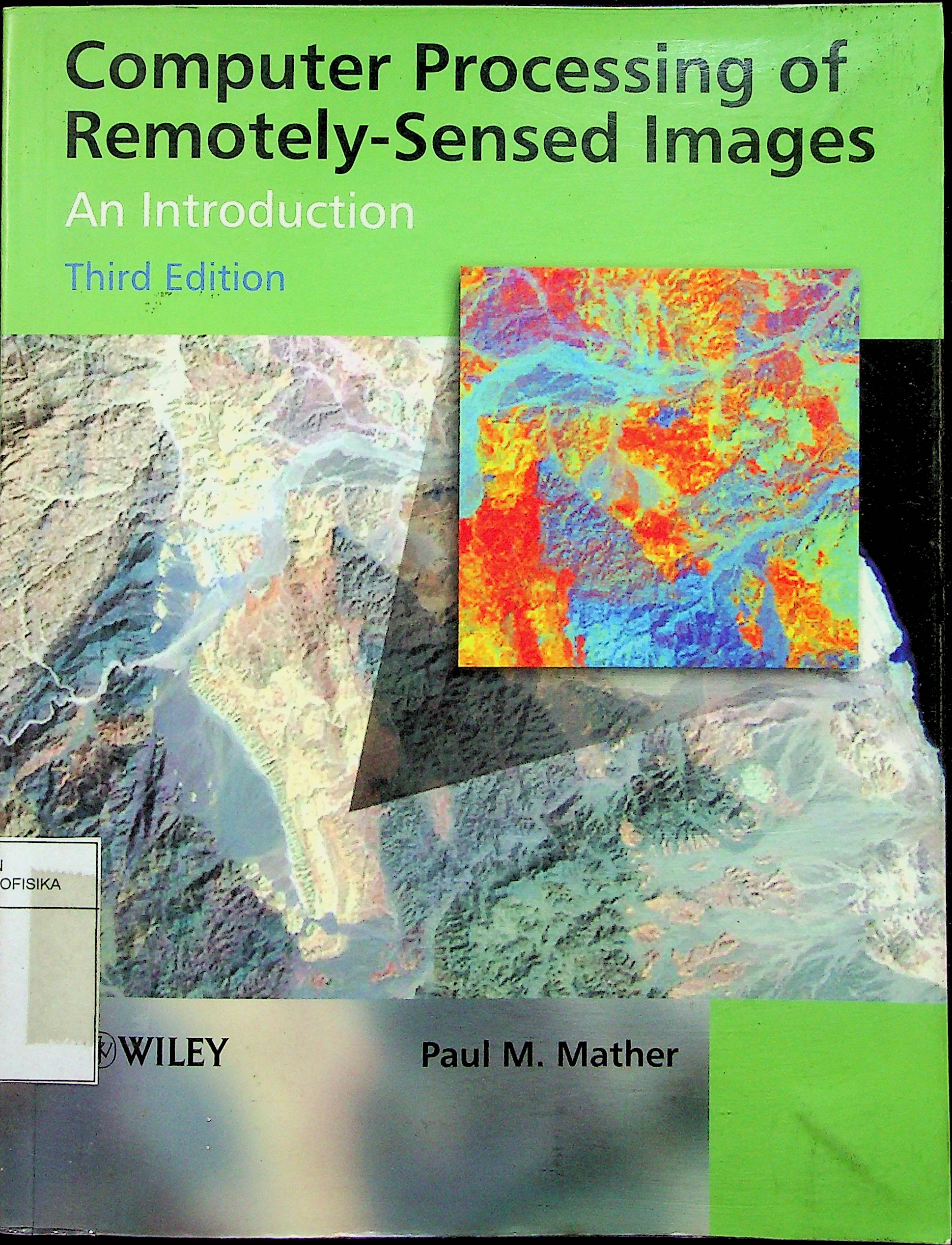
Computer Processing of Remotely-Sensed Images
Paul M. Mather
Penerbit :
John Wiley & Sons Ltd
Tahun :
2007
Buku Text
-
No Scan82
-
No Klasifikasi621.36'78
-
ISBN
-
ISSN
-
No Registrasi014A/1/2007
-
Lokasi Terbit
-
Jumlah Hal43
-
Label621.36'78 mat
-
Versi DigitalTIDAK
-
Versi FisikTIDAK
-
Lokasi Rak Buku Fisik//
-
Jumlah Exemplar Fisik Tersedia-


