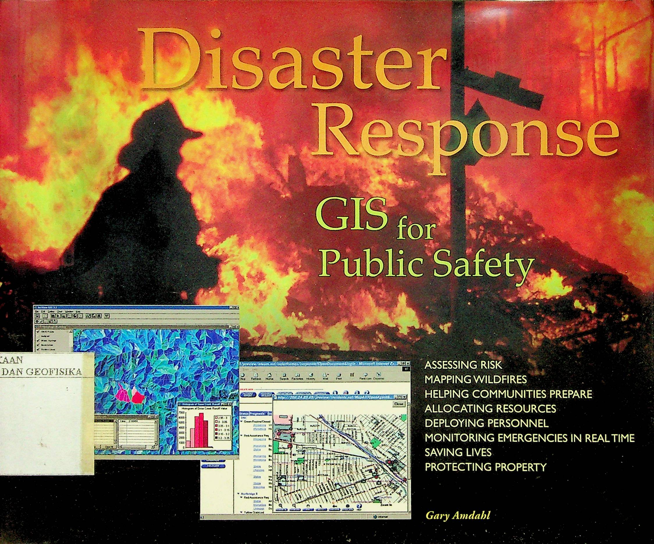
Earthquakes bring down cities, wildfires ravage millions of acres of land, floods wash .away homes and lives, volcanoes devastate towns and villages, hurricanes roar down onpopulous coasts, tornadoes rip mile-wide paths up and down the countryside. Mother Nature does what she does, and in the face of her fury, a comprehensive and effective system of preparedness, mitigation, response, and recovery seems an unlikely possibility. Geographic information systems, however, are just that, providing the means not to conquer Mother Nature, but to get out of her way, and soften her blows when we From deciding where to build new fire stations and in which stations to keep ladder. trucks, to monitoring disasters as they happen, in real time, with only a PC and anInternet connection, from mapping wildfires tens of thousands of acres in size with GPS equipment and a helicopter, to picking up the pieces after a major earthquake, GIS ismaking emergency management a faster and more accurate means of helping people cope.
Buku Text
-
No Scan126
-
No Klasifikasi363.34
-
ISBN
-
ISSN
-
No Registrasi003A/I/2006
-
Lokasi Terbit
-
Jumlah Hal27
-
Label363.34 Amd d
-
Versi DigitalTIDAK
-
Versi FisikTIDAK
-
Lokasi Rak Buku Fisik//
-
Jumlah Exemplar Fisik Tersedia-


