To fully appreciate the benefits of GIS applications consider the following hypothetical scenario. On March 10, 2004, following a heavy storm event, a sewer customer calls the Sewer Authority of the City of Cleanwater to report minor basement flooding without any property damage. An Authority operator immediately starts the GIS and enters the customer address. GIS zooms to the resident property nd shows all the sewers and manholes in the area. The operator queries the inspec¬tion data for a sewer segment adjacent to the customer property and finds that a mini movie of the closed-circuit television (CCTV) inspection dated July 10, 1998, is available. The operator plays the movie and sees light root growth in the segment. A query of the maintenance history for that segment indicates that it has not been cleaned since April 5, 1997. This information indicates that the roots were never cleaned and have probably grown to “heavy” status. The operator highlights the sewer segment, launches the work order module, and completes a work order form for CCTV inspection and root removal, if necessary. The export button saves the work order form and a map of the property and adjacent sewers in a PDF file. The operator immediately sends the PDF file by e-mail to the Authority’s sewer cleaning contractor. The entire session from the time the customer called the Authority office took about 30 min. The operator does not forget to call the customer to tell him that a work order has been issued to study the problem. This book presents the methods and examples required to develop applications such as this.The days of the slide rule are long gone. Word processors are no longer consid¬ered cutting-edge technology. We are living in an information age that requires us to be more than visionaries who can sketch an efficient infrastructure plan. This tech-heavy society expects us to be excellent communicators who can keep all the stakeholders — the public, the regulators, or the clients — “informed.” New infor¬mation and decision support systems have been developed to help us to be good communicators. GIS is one such tool that helps us to communicate geographic or spatial information. The real strength of GIS is its ability to integrate information. GIS helps decision makers by pulling together crucial bits and1 pieces of information as a whole and showing them the “big picture.” In the past 10 years, the number of GIS users has increased substantially. Many of us are using GIS applications on the Internet and on wireless devices without even knowing that we are using a GIS. Experts believe that in the near future, most water, wastewater, and stormwater system professionals will be using the GIS in the same way they are now using a word processor or spreadsheet. Except for the computer itself, no technology has so revolutionized the water industry. The time has come for all the professionals involved in the planning, design, construction, and operation of water, wastewater, and stormwater systems to enter one of the most promising and exciting technologies of the millennium in their profession — GIS applications
5
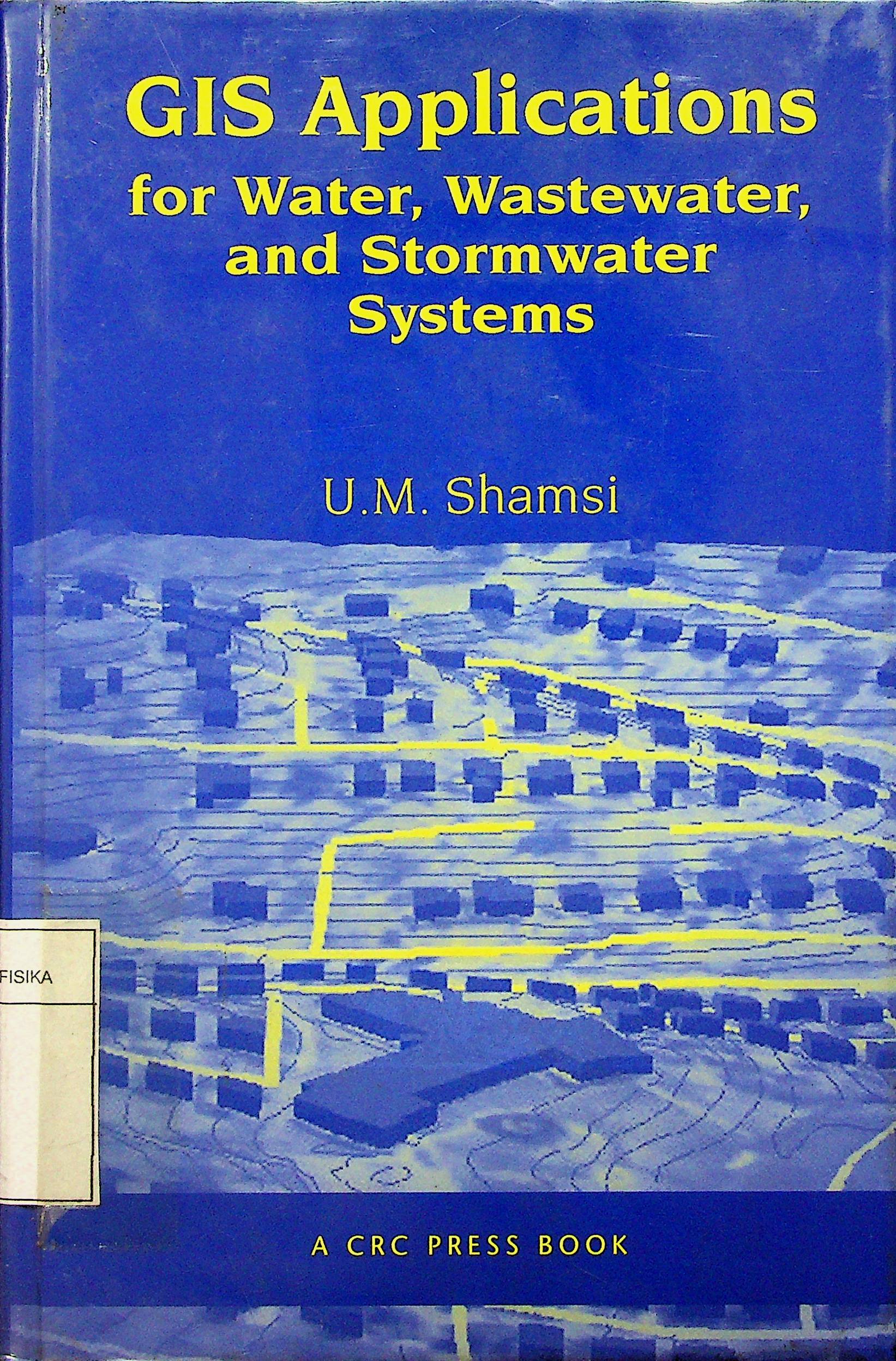
GIS Applications for Water, Wastewater, and Stormwater Systems
U.M. Shamsi
Penerbit :
CRC Press
Tahun :
2005
Buku Text
water distribution
-
No Scan87
-
No Klasifikasi628.1
-
ISBN0-8493-2097-6
-
ISSN-
-
No Registrasi016A/I/2007
-
Lokasi TerbitInggris
-
Jumlah Hal54
-
Label628.1 sha g
-
Versi DigitalYA
-
Versi FisikYA
-
Lokasi Rak Buku Fisik02/B/09
-
Jumlah Exemplar Fisik Tersedia1


