Access to clean water is a human right and a basic requirement for eco nomic development. The safest kind of water supply is the use of ground water. Since groundwater normally has a natural protection against pollution by the covering layers, only minor water treatment is required. Detailed knowledge on the extent, hydraulic properties, and vulnerability of groundwater reservoirs is necessary to enable a sustainable use of the resources. This book addresses students and professionals in Geophysics and Hydrogeology. The aim of the authors is to demonstrate the application of geophysical techniques to provide a database for hydrogeological decisions like drillhole positioning or action plans for groundwater protection. Physical fundamentals and technical aspects of modem geophysical reconnaissance methods are discussed in the first part of the book. Beside ’’classical" techniques like seismic, resistivity methods, radar, magnetic, and gravity methods emphasis is on relatively new techniques like complex geoelectric, radiomagnetotellurics, vertical groundwater flow determination, or nuclear magnetic resonance. An overview of direct push techniques is given which can fill the gap between surface and borehole geophysics. The applications of these techniques for hydrogeological purposes are illustrated in the second part of the book. The investigation of pore aquifers is demonstrated by case histories from Denmark, Germany, and Egypt. Examples for the mapping of fracture zone and karst aquifers as well as for saltwater intrusions leading to reduced groundwater quality are shown. The assessment of hydraulic conductivities of aquifers by geophysical techniques is discussed with respect to the use of porosity - hydraulic conductivity relations and to geophysical techniques like NMR or SIP which are sensitive to the effective porosity of the material. The classification of groundwater protective layers for vulnerability maps as required by the EU water framework directive is a relatively new field of application for geophysical techniques. Finally, the geophysical mapping of organic and inor ganic contaminations of soil and groundwater is demonstrated.I am indebted to Helga Wiederhold (GGA-Institut) for critically reading and finalising the manuscripts, and to Anja Wolf and Christina Bruhn (both LANU) for skilful graphical work.
5
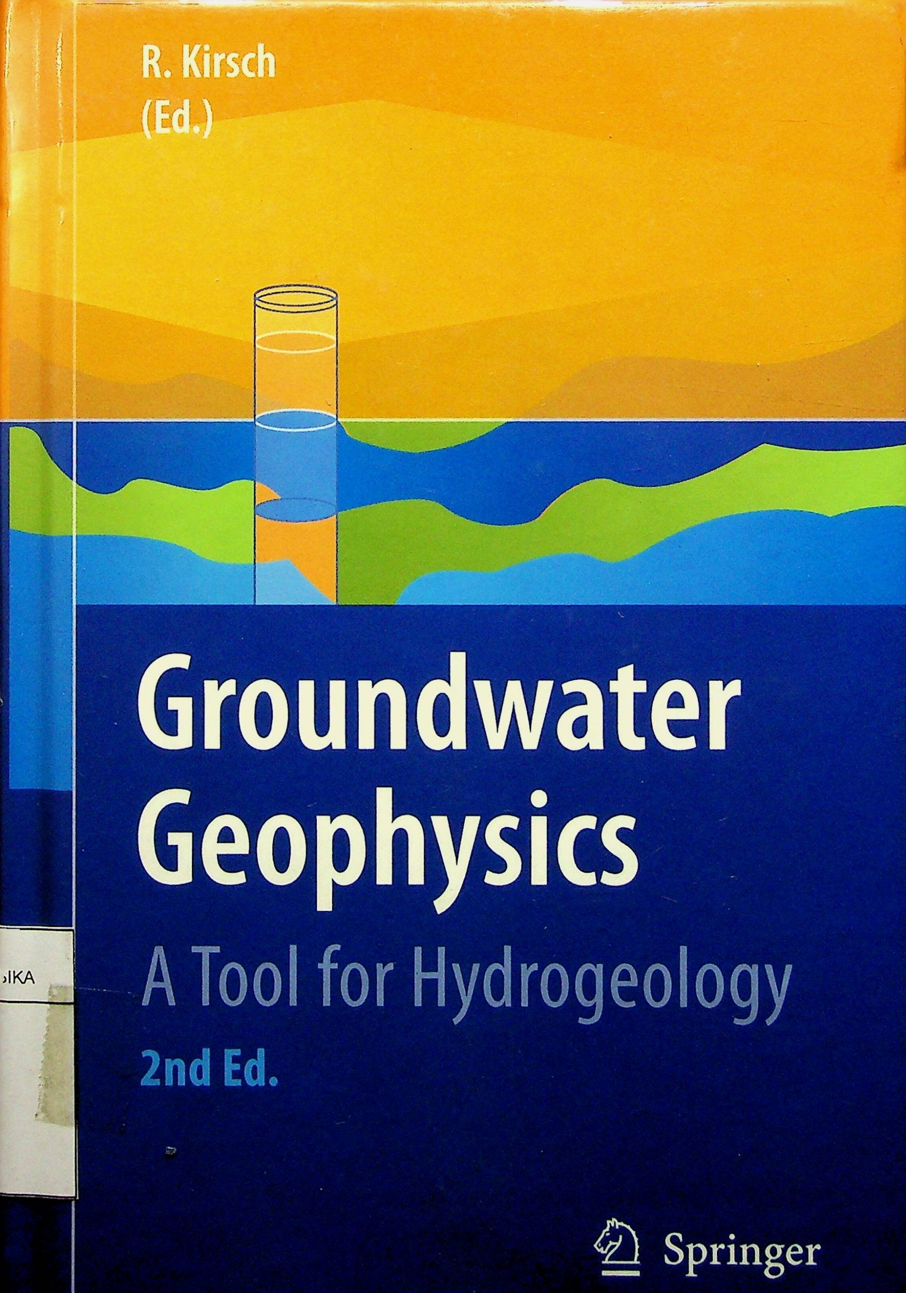
Groundwater Geophysics A Tool for Hydrogeology
Reinhard Kirsch (Ed.)
Penerbit :
© Springer-Verlag Berlin Heidelberg
Tahun :
2006
Buku Text
-
No Scan1
-
No Klasifikasi553. 79
-
ISBN
-
ISSN
-
No Registrasi30022015
-
Lokasi Terbit
-
Jumlah Hal49
-
Label553. 79 Kir G
-
Versi DigitalTIDAK
-
Versi FisikTIDAK
-
Lokasi Rak Buku Fisik//
-
Jumlah Exemplar Fisik Tersedia-


