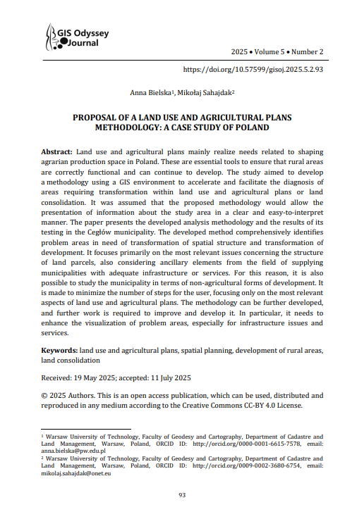
Land use and agricultural plans mainly realize needs related to shaping agrarian production space in Poland. These are essential tools to ensure that rural areas are correctly functional and can continue to develop. The study aimed to develop a methodology using a GIS environment to accelerate and facilitate the diagnosis of areas requiring transformation within land use and agricultural plans or land consolidation. It was assumed that the proposed methodology would allow the presentation of information about the study area in a clear and easy-to-interpret manner. The paper presents the developed analysis methodology and the results of its testing in the Cegłów municipality. The developed method comprehensively identifies problem areas in need of transformation of spatial structure and transformation of development. It focuses primarily on the most relevant issues concerning the structure of land parcels, also considering ancillary elements from the field of supplying municipalities with adequate infrastructure or services. For this reason, it is also possible to study the municipality in terms of non-agricultural forms of development. It is made to minimize the number of steps for the user, focusing only on the most relevant aspects of land use and agricultural plans. The methodology can be further developed, and further work is required to improve and develop it. In particular, it needs to enhance the visualization of problem areas, especially for infrastructure issues and services.
-
PROPOSAL OF A LAND USE AND AGRICULTURAL PLANS METHODOLOGY: A CASE STUDY OF POLAND
Anna Bielska, Mikołaj Sahajdak
Penerbit :
GIS Odyssey Journal
Tahun :
2025
Jurnal
Perpustakaan Digital Website Agrikultur
-
No Scan-
-
No Klasifikasihttps://doi.org/10.57599/gisoj.2025.5.2.93
-
ISBN-
-
ISSN-
-
No Registrasi-
-
Lokasi TerbitPolandia
-
Jumlah Hal27
-
Label-
-
Versi DigitalYA
-
Versi FisikTIDAK
-
Lokasi Rak Buku Fisik//
-
Jumlah Exemplar Fisik Tersedia-