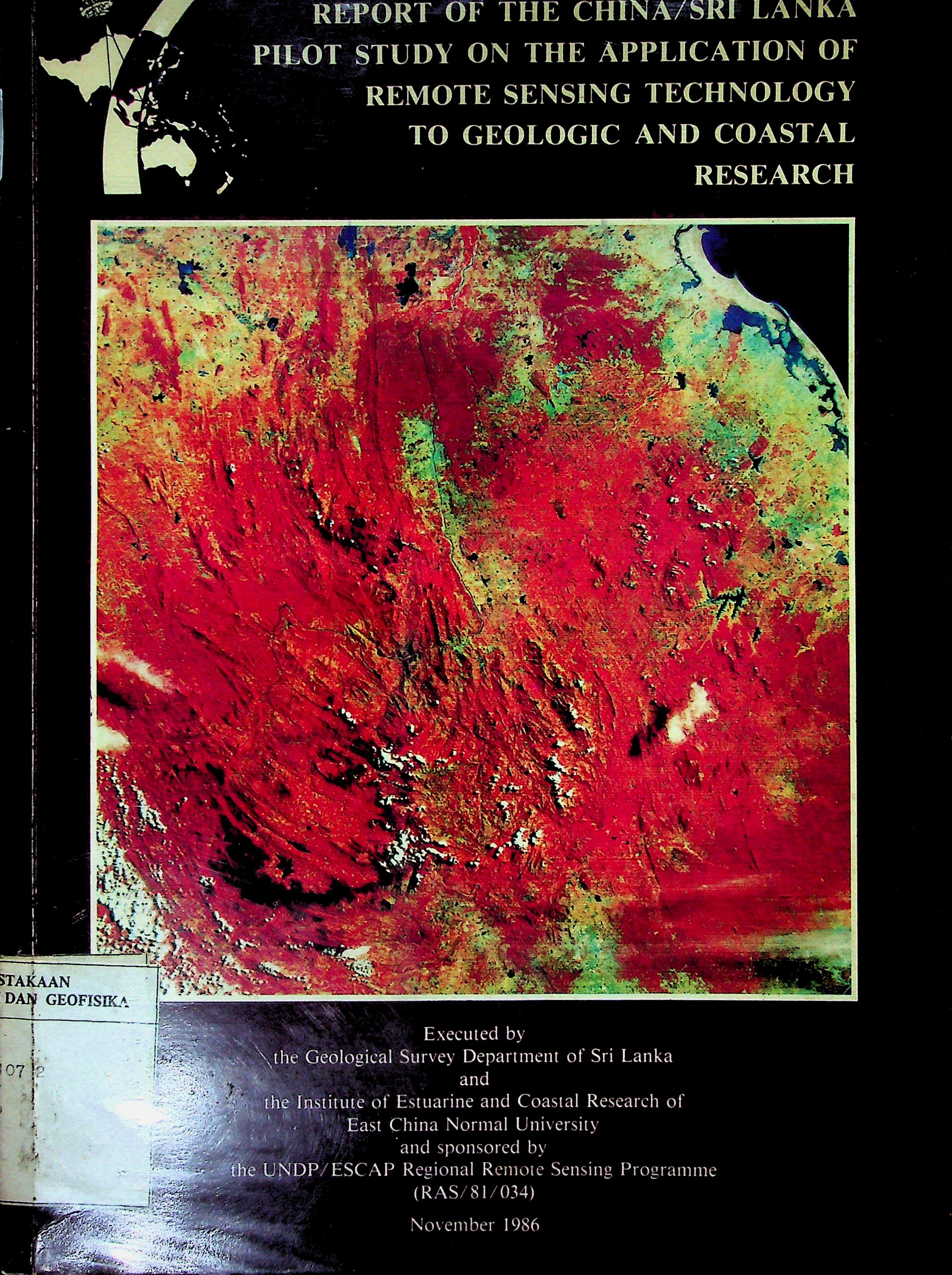
This report presents the China/Sri Lanka pilot study on the use of remote sensing technology for geologic and coastal research. It discusses Landsat image interpretation, lineament mapping, uranium mineralization prediction, coastal geomorphology, coastal erosion, lagoon evolution, and environmental monitoring in Sri Lanka. The study shows that remote sensing can support mineral exploration, coastal zone planning, and environmental management.
-
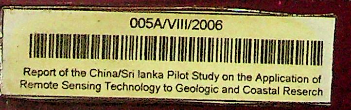
Report of the China/Sri Lanka Pilot Study on the Application of Remote Sensing Technology to Geologic and Coastal Research
Geological Survey Department of Sri Lanka and Institute of Estuarine and Coastal Research, East China Normal University
Penerbit :
UNDP/ESCAP Regional Remote Sensing Programme
Tahun :
1986
Laporan
Earthquake
-
No Scan852
-
No Klasifikasi551
-
ISBN-
-
ISSN-
-
No Registrasi005A/VIII/2006
-
Lokasi Terbit-
-
Jumlah Hal61
-
Label551 / Re / 2
-
Versi DigitalTIDAK
-
Versi FisikTIDAK
-
Lokasi Rak Buku Fisik//
-
Jumlah Exemplar Fisik Tersedia-